
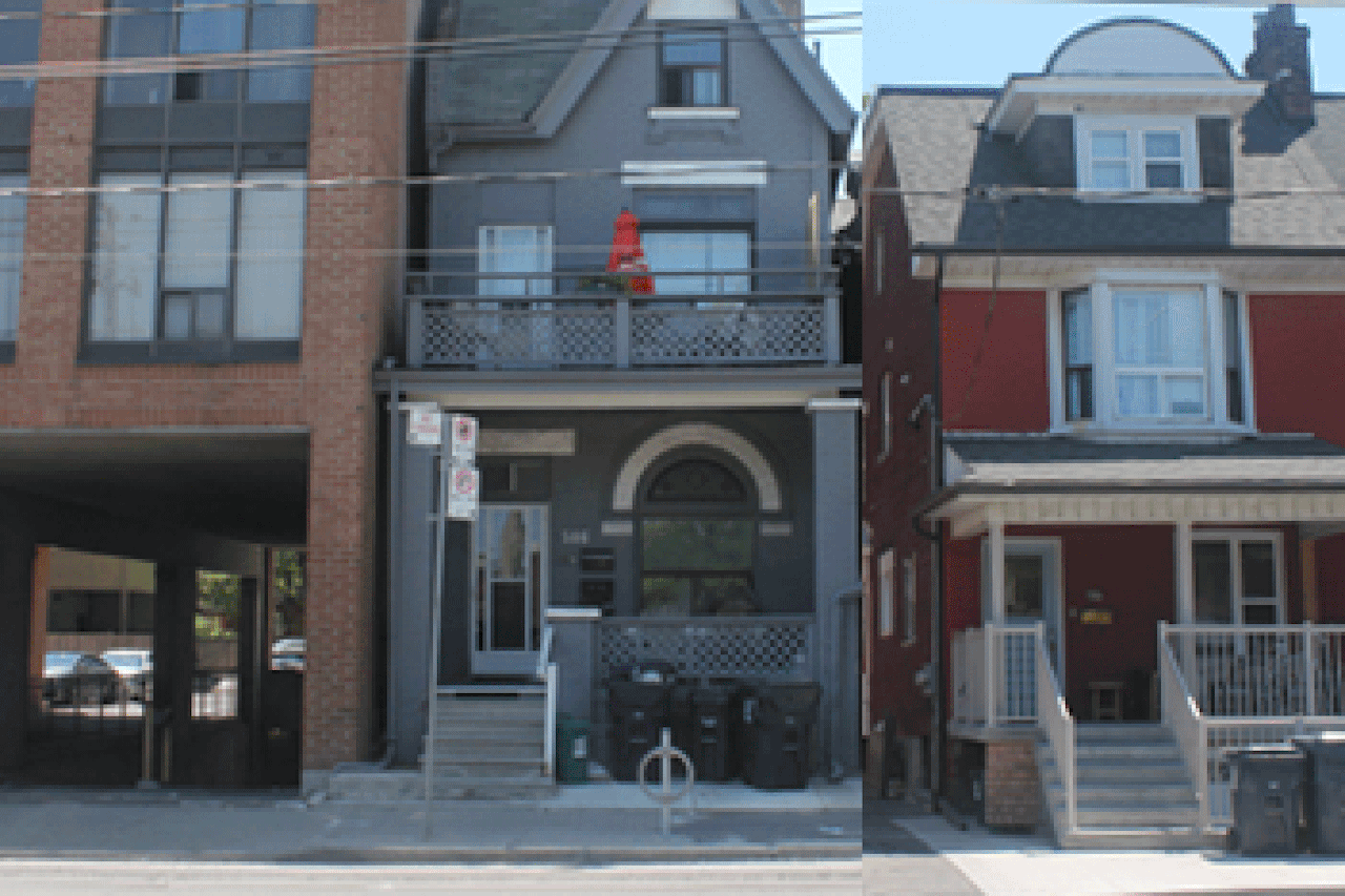
 Bathurst North of College
Before I knew what the above GIF even was, I thought immediately of Toronto. The first time I visited the city, I was struck by how much you could infer about the city’s past and future from its streetscape. In 1950, Toronto had a population of just over one million. Today, it’s the center of a metropolitan area with over six million inhabitants. That crazy growth is reflected in countless adaptations to the built environment. A residential block that must’ve once been the city’s suburban fringe might now have storefronts wedged into former front yards and condo buildings squeezed between single-family houses. Construction cranes for highrises sprout from parking lots between strip malls, and midcentury low-rise blocks are dwarfed by looming shopping centers covered in a Blade-Runner-esque icing of advertisements in half-a-dozen languages. From the perspective of a visitor from a shrinking, poor US city, Toronto seemed exotic and familiar at the same time—a sci-fi “what if” vision of the great North American metropolis with an alternate 60 years of policy, planning, and economic conditions.
These GIFs, from the Tumblr Neodot City, depict “the cyberpunk Toronto of the future”—a glimpse at how that process of urban intensification might continue in the coming decades. They also demonstrate the artist’s process, building from a reference photo of a specific block to a digital illustration, layer by layer. They’re of course evocative of the futuristic dystopias of 80s/90s sci-fi, but also imply how not-far-off many of those predictions were. And there’s a sense of optimism in the little details too—it’s reassuring to think no matter how bad gentrification gets in the GTA, at least the raccoons will still be there.
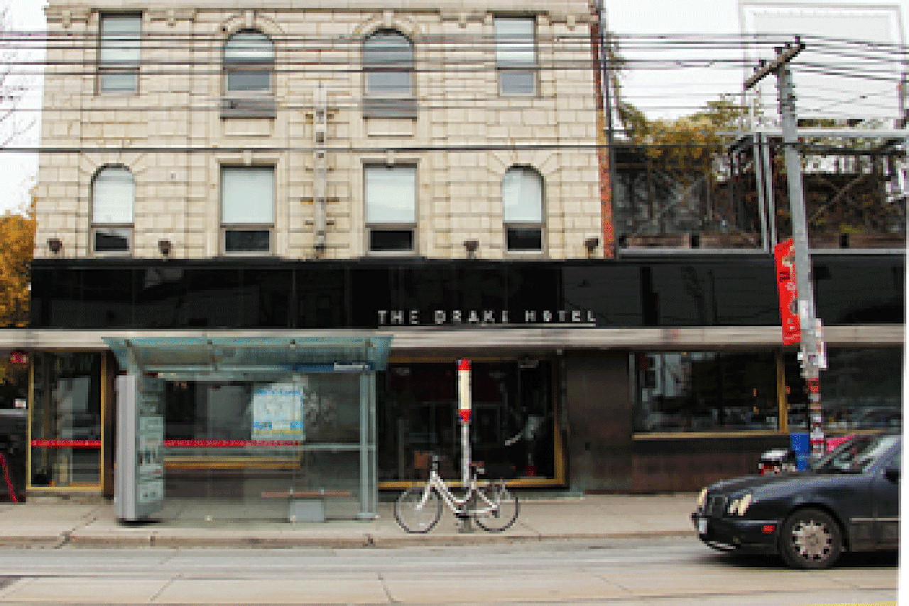 Queen Street West at Beaconsfield
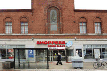 Bloor West at Runnymede

Comments on this entry are closed.
{ 1 trackback }